Builders
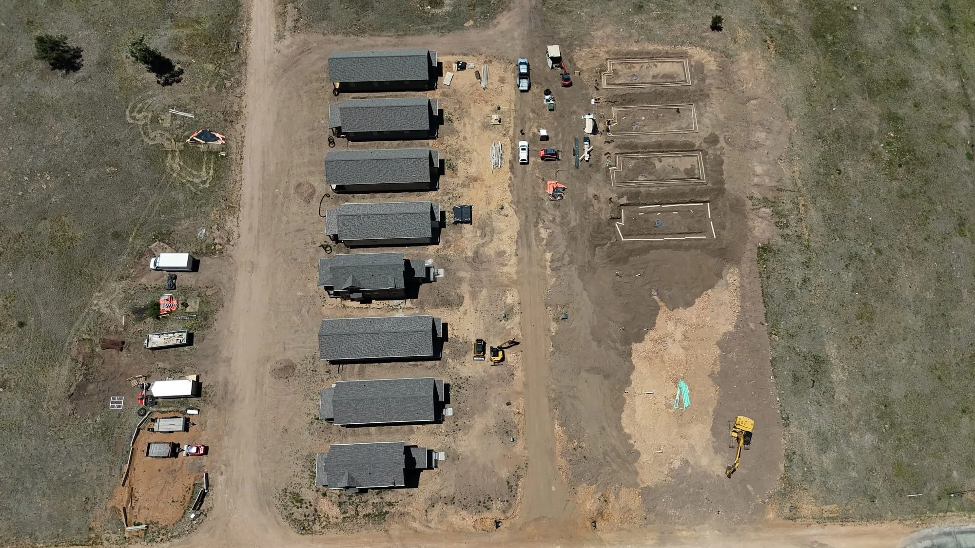
Orbit of an 8-home build
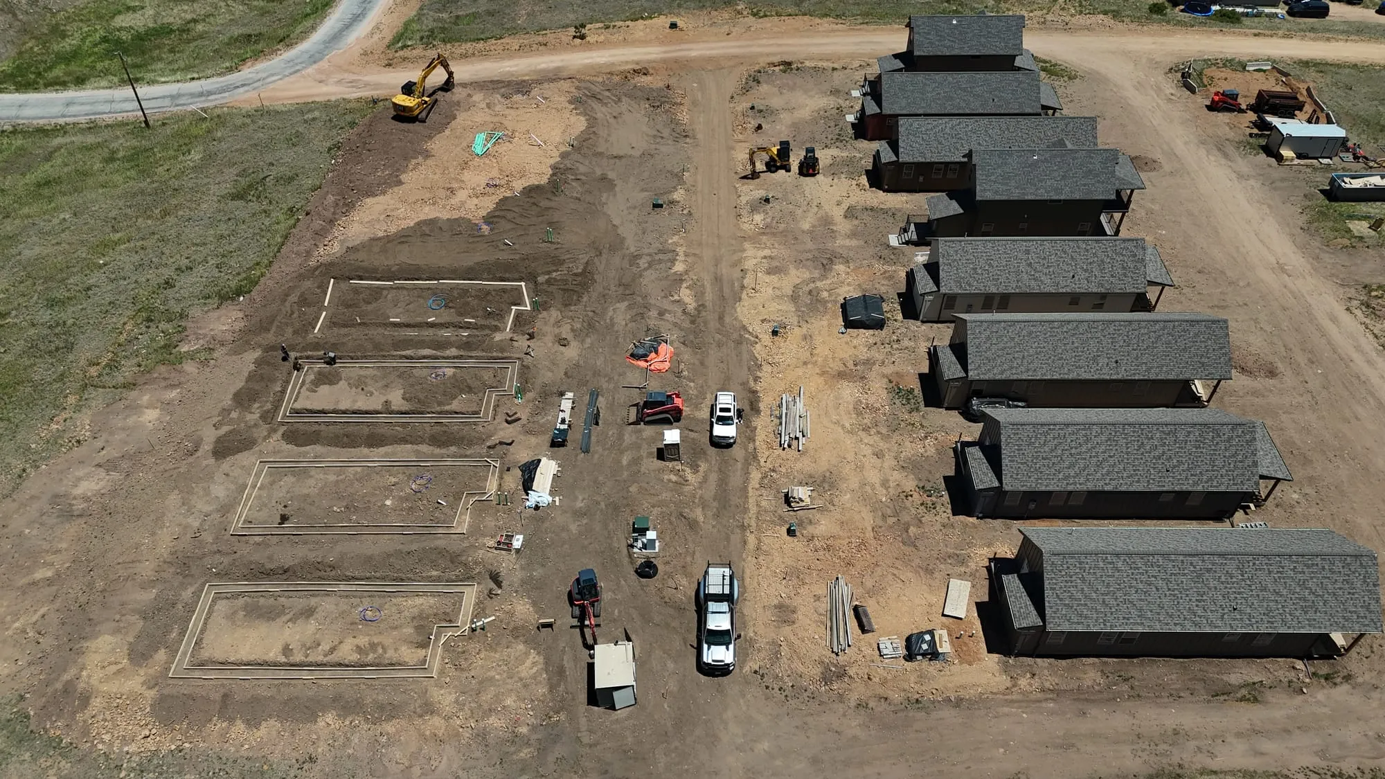
A full orbit of eight finished homes with the next phase’s foundations poured. One flight shows a buyer, a lender or an investor the whole project.
Progress your owners and lenders can actually see, and marketing footage your sales team can use the same week.
Progress plans
| One site visit 20–30 stills from fixed angles plus a short clip | $299 per visit |
| Quarterly One visit a quarter, same angles each time | $279 per visit |
| Monthly progress Same angles every month, dated folders | $449 per month |
| Twice a month Two visits a month for fast-moving sites | $799 per month |
| Marketing film An edited 60–90 second piece of a finished project or a new community, with a vertical cut | $495 per film |
Apartments, retail and commercial property: aerials of the building, grounds and amenities for leasing pages, from $299 a visit. Interior amenity photos are quoted with our partner photographer.
Insurance and COIs. Drone Video Professionals carries liability insurance. We send a certificate of insurance naming you, your brokerage, your HOA or your company as the certificate holder, usually the same day you ask. If your project file needs us listed as an additional insured, say so when you book. For your records, the certificate is issued in the name of Linza Contracting LLC, the company Drone Video Professionals trades as, so the policy and the invoice match.
Builders ask
No. These are visual documentation aerials: photos and video for marketing, progress and records. They are not survey-grade measurements. For topo or volumes, use a licensed surveyor; we’re happy to fly alongside one.
We fly the same positions and heights every visit and deliver into dated folders, so each month lines up with the last.
Yes. We check in with the superintendent, follow site safety rules and stay clear of cranes and crews.